Skip to main content
Search
Search This Blog
HikingMaine.Org
Covering outdoor activities in Maine and neighboring areas.
Posts
Showing posts from November, 2019
Show all
November 30, 2019
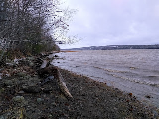
Bucksport Waterfront Walkway
November 29, 2019
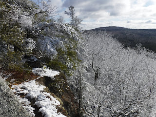
Eagle Bluff North Summit and Parks Pond Bluff Trail
November 28, 2019
Thanksgiving Hike at Penobscot Shore Preserve (Prospect)
November 24, 2019
Hirundo Wildlife Refuge (Old Town)
November 23, 2019
Hermon Recreation Trail
November 16, 2019
Katahdin Woods and Waters (Matagamon Gate)
November 11, 2019
Saxl Park (Bangor)
November 11, 2019
Brown Woods (Bangor)
November 09, 2019
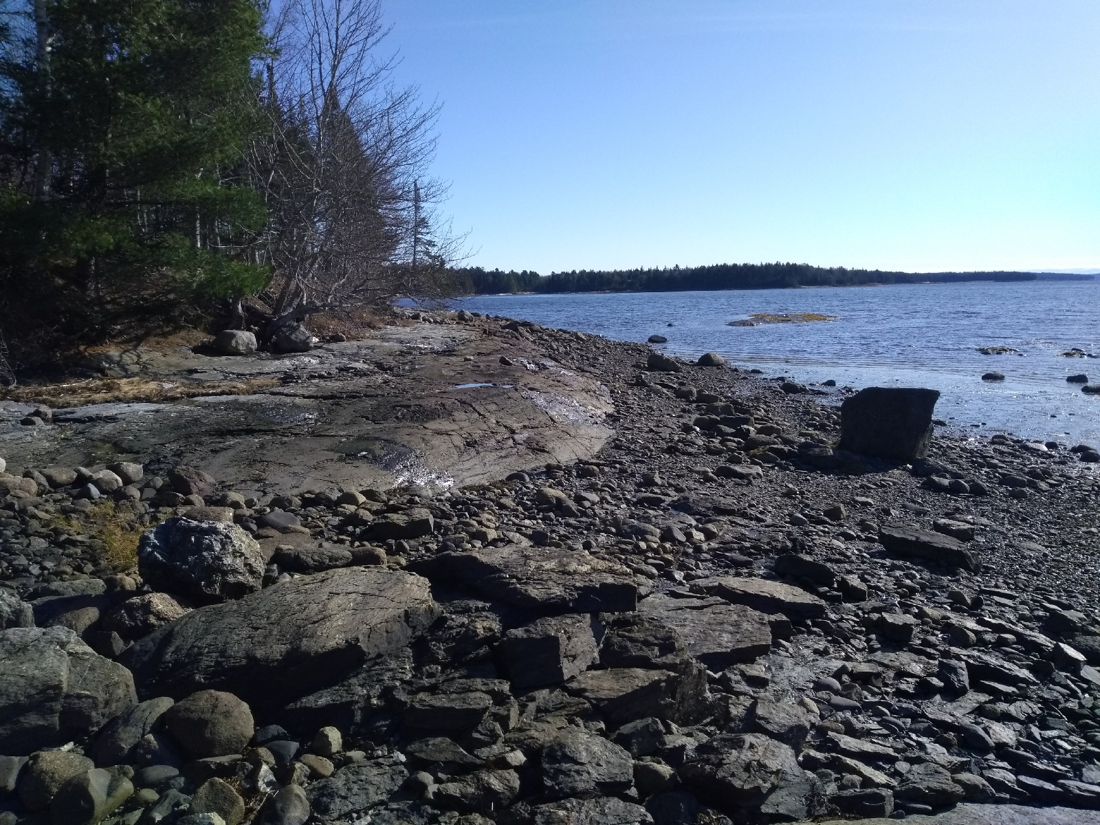
Carter Nature Preserve (Surry)
November 09, 2019
Hatchet Mountain Preserve (Hope)
Newer Posts
Older Posts
Home