Sunday, December 27, 2020

South Bubble Mountain via the Jordan Pond Trail, Acadia National Park

Matty and I planned on a moderately strenuous hike to North and South Bubbles today in Acadia Park, but I had forgotten that Park Loop Road closes in the winter.  As such, we had to revise our plan and decided to hike to South Bubble from the Jordan Pond House.

The initial part of the hike was along a flat and well maintained gravel path running along the shore of Jordan Pond.  The trail afforded great views of the Bubbles and Penobscot Mountain.  

At approximately 1.5 miles, we came to the trail leading up South Bubble.  The trail rose steeply, and in the final section shortly before the summit required that we rock scramble a short distance.  

We descended towards the Bubbles parking along Park Loop Road before coming to a trail which led us back to the Jordan Pond trail.  Descending this way was significantly easier than had we retraced our steps.

This was a strenuous hike, due to the rock scrambling, but was worth it for the views.  Fortunately due to the recent warm temperatures there was little ice or snow; otherwise we would not have been able to make it up.  

Here is a map of our hike.  


Saturday, December 26, 2020

Stations of the Cross Trail, St. Matthew's Catholic Church (Hampden)

My younger son and I decided to do a few local hikes today, one of which was the Stations of the Cross Trail behind St. Matthew's Catholic Church in Hampden.  The short trail (approximately 0.2 miles) was created by boy scouts in 2012 and features individual stations of the cross along a wooded path, each with its own bench.  Here is a map of the trail.  


Sunday, December 20, 2020

Mead Mountain (Orland)

Matty and I hiked Mead Mountain today.  The mountain is part of the Great Pond Mountain Wildlands.  The hike to the summit was five miles round-trip from the parking lot on Route 1.  A good portion of the hike (2.6 miles) involved walking on the Valley Road.  The trail to Mead Mountain's summit leaves the Valley Road and travels along a relatively wide dirt path for approximately 0.7 miles.  The trail then enters a single track narrow trail through woods until reaching the mostly wooded summit.  

Here is a map of our hike.  


Saturday, December 12, 2020

Connor Mill Trail and Unity College Trails

My son and I visited Unity today to hike on the Connor Mill Trail. The sign at the trailhead stated that the trail was approximately 3 miles long; however, after a short distance we discovered a stream with no bridge to cross.  The temperature was around 38° so we did not attempt to cross the stream and instead returned to the car.  We noticed a trail accessing Unity College's trails across the street from where we were parked, so we decided to explore those trails.   After a short walk through an open field we came to a wooded area, and then intersected a paved unity college path. We took this path and followed it to a parking lot where we noticed a sign saying that the University was closed due to COVID.   At this point, we elected to return to our car and call it a day.  

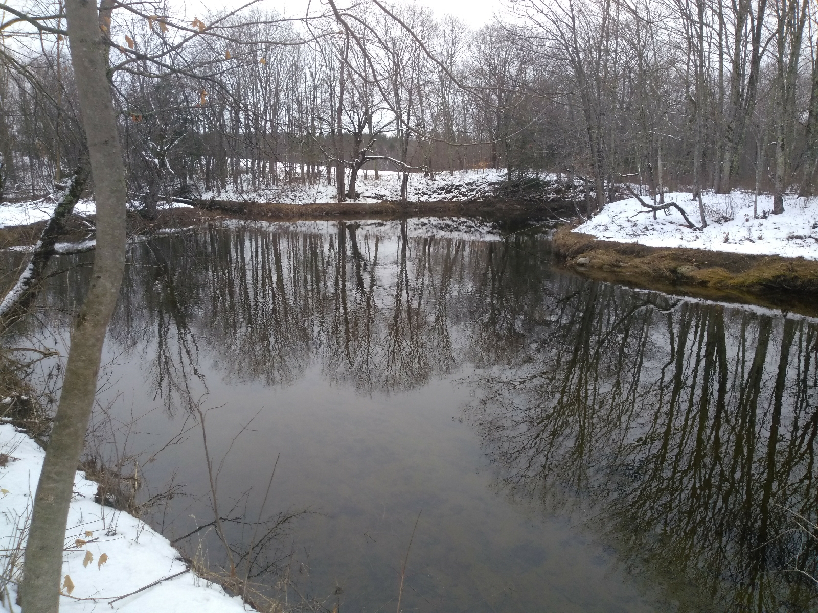
The Connor Mill Trail was scenic although short and there was ample evidence of wildlife in the area based on tracks. The trail runs adjacent to a stream.   

Monday, December 7, 2020

Bangor Municipal Golf Course

My son and I enjoyed the first significant snow of the season on Sunday with a visit to the Bangor Municipal Golf Course.

Saturday, December 5, 2020

Hermon Community Trail

If you read my blog regularly, you know I've made it my goal to get outside every weekend since January 2019.   

This weekend the Bangor area is facing a large snowstorm following rains on Saturday.  Fortunately, the rains didn't start until around 9 am so I was able to get a quick walk in at the Hermon Recreation Trail beforehand.  

As I walked, I reflected on my goal and how I've managed to keep the streak alive.  I've been fortunate to stay healthy and fortunate to live in an area with abundant outdoor opportunities.  

After reflecting on the streak, I began reflecting on the Hermon Trail itself.  I've visited this path often as its close to where I live.  The path itself travels through woods and has interpretitive signs explaining the trees and other features of the landscape.  Today I spotted a large group of wild turkeys and was kept company by several chickadees.  Although surrounded by development, the trail offers a chance to connect with nature - I've seen deer, woodpeckers, vultures, hawks and even the remains of a coyote along the trail.  

Its easy to dismiss a trail like this as just a walking or running trail.  There's little chance of seeing a moose and there are no amazing vistas.  However, each time I come here I find myself leaving refreshed, appreciating the chance to connect with nature in a convenient location.  

Sunday, November 29, 2020

Frohock and Derry Mountains, Camden Hills State Park

Matty and I visited Camden Hill State Park today.  I dropped Matty off at the base of Mt Battie at the end of Megunticook Street for a planned run/hike of all of the mountains in the park.  I then drove over and parked at the Youngtown Road entrance to the park.  

The Frohock Trail leaves the multiuse trail approximately 1/2 mile from the parking lot.   The trail rises gradually until it intersects with a trail to Garey Mountain.  It then dips a bit before climbing Derry Mountain in a series of switchbacks.   It then meanders down again before a slight climb up Frohock Mountain.

Both summits are forested, although Penobscot Bay can be seen this time of the year through the bare trees.   The hike is a pleasant forested path and I saw only five other people, surprising for a beautiful late fall day.   

Below is a map of my hike. 

Saturday, November 28, 2020

St Sauveur Mountain and Valley Peak (Acadia National Park)

My younger son and I hiked St Sauveur Mountain and Valley Peak this morning.  We had never done this hike before and amazingly (for Acadia) we didn't see any other people until we were 3/4 of the way through our hike.  

This is a fun 2.8 mile hike, steep at parts and requiring some light scrambling but overall we rated it as a moderate hike.  There were a few obstructed views from the top of St Sauveur and amazing views of Somes Sound from the Valley Peak trail.  

Here is a map of our hike.  

Sunday, November 22, 2020

John B Mountain (Harborside)

A group of friends and I hiked John B. Mountain this morning.  The mountain, owned by the Blue Hill Heritage Trust (see https://bluehillheritagetrust.org/john-b-mountain), features a beautiful forested trail that leads to sweeping views overlooking Eggemoggin Reach, Deer Isle and other nearby areas.  The roughly mile long trail is steep and rocky in parts.  Here is a map of our hike.  


Saturday, November 21, 2020

Holden Community Trails

My younger son and I hiked the Holden Community Trails this afternoon.   The trails offer a convenient and not overly stressful way to get out in nature as they wind through the woods behind the Holden Elementary School and Town Office.   As we arrived, a town employee was just finishing up leaf blowing the trail, which resulted in the cleanest hiking trails we've ever been on!

Here is a map of our hike.   


Saturday, November 14, 2020

Blue Hill Mountain

My sons and I hiked Blue Hill today.  We ascended the Osgood Trail and descended the Hayes and South Face Trails.  The hike was unexpectedly challenging, particularly the Hayes Trail, which was steeper and rockier than we expected.  Here is a map of our hike.

Blue Hill Mountain is owned and managed by the Blue Hill Heritage Trust and the Town of Blue Hill.  For more information, visit https://bluehillheritagetrust.org/blue-hill-mountain.  


Sunday, November 8, 2020

Tucker Mountain and Birch Point Trail (Petit Manan NWR)

My younger son and I went hiking along Maine's coast north of Ellsworth today.  We started by visiting Tucker Mountain Preserve.  The preserve, managed by the Frenchman Bay Conservancy, is located off of Route One near the Long Cove parking area in Sullivan.   There is no sign for the preserve.  The trailhead is across Route One and starts as an old paved road.  The trail then turns inland and begins to climb, at times steeply, to the summit.  A rock clearing on the way to the summit offers views of Mt. Desert Island in the distance.  A map of our hike is here.  To find the parking area, enter these coordinates into your GPS 44°30'56.6"N 68°11'11.3"W.  

We next visited the Petit Manan National Wildlife Refuge and hiked the Birch Point and Lobster Point Trail.   The trail is relatively flat, starting through blueberry fields before heading into a coastal woodland.  The trail leads past two fields and past pine forests, where the smell of pine trees reminded us of Christmas trees.  There are a number of benches and chairs overlooking fields and coves along the trail.  During our hike, we observed two porcupines - one climbing a tree and another near a beach area.  Here is a map of our hike at the refuge.