Skip to main content
Search
Search This Blog
HikingMaine.Org
Covering outdoor activities in Maine and neighboring areas.
Posts
Showing posts from 2019
Show all
December 29, 2019
Acadia National Park (North Ridge to Cadillac Mountain)
December 28, 2019
UMaine Trails (Orono)
December 22, 2019
Winter Cabin Camping at Little Dyer Pond Cabin, Hidden Valley Nature Center (Jefferson)
December 15, 2019
Northern Pond Natural Area (Monroe)
December 07, 2019
Opportunistic Hiking at Kenduskeag Stream Trail (Bangor)
December 07, 2019
Snowshoeing Kennard Road Trail (Newburgh)
December 01, 2019
Acadia National Park - Carriage Roads from Hulls Cove Visitor Center to Conners Nubble
November 30, 2019
Bucksport Waterfront Walkway
November 29, 2019
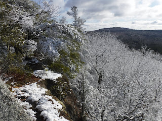
Eagle Bluff North Summit and Parks Pond Bluff Trail
Newer Posts
Older Posts
Home