Skip to main content
Search
Search This Blog
HikingMaine.Org
Covering outdoor activities in Maine and neighboring areas.
Posts
Showing posts from 2021
Show all
December 31, 2021
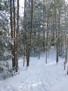
Snowshoeing Ecotat (Hermon)
December 30, 2021
Snowshoeing Baxter State Park, Foss and Knowlton Trail (Abol to Foss and Knowlton Pond)
December 29, 2021
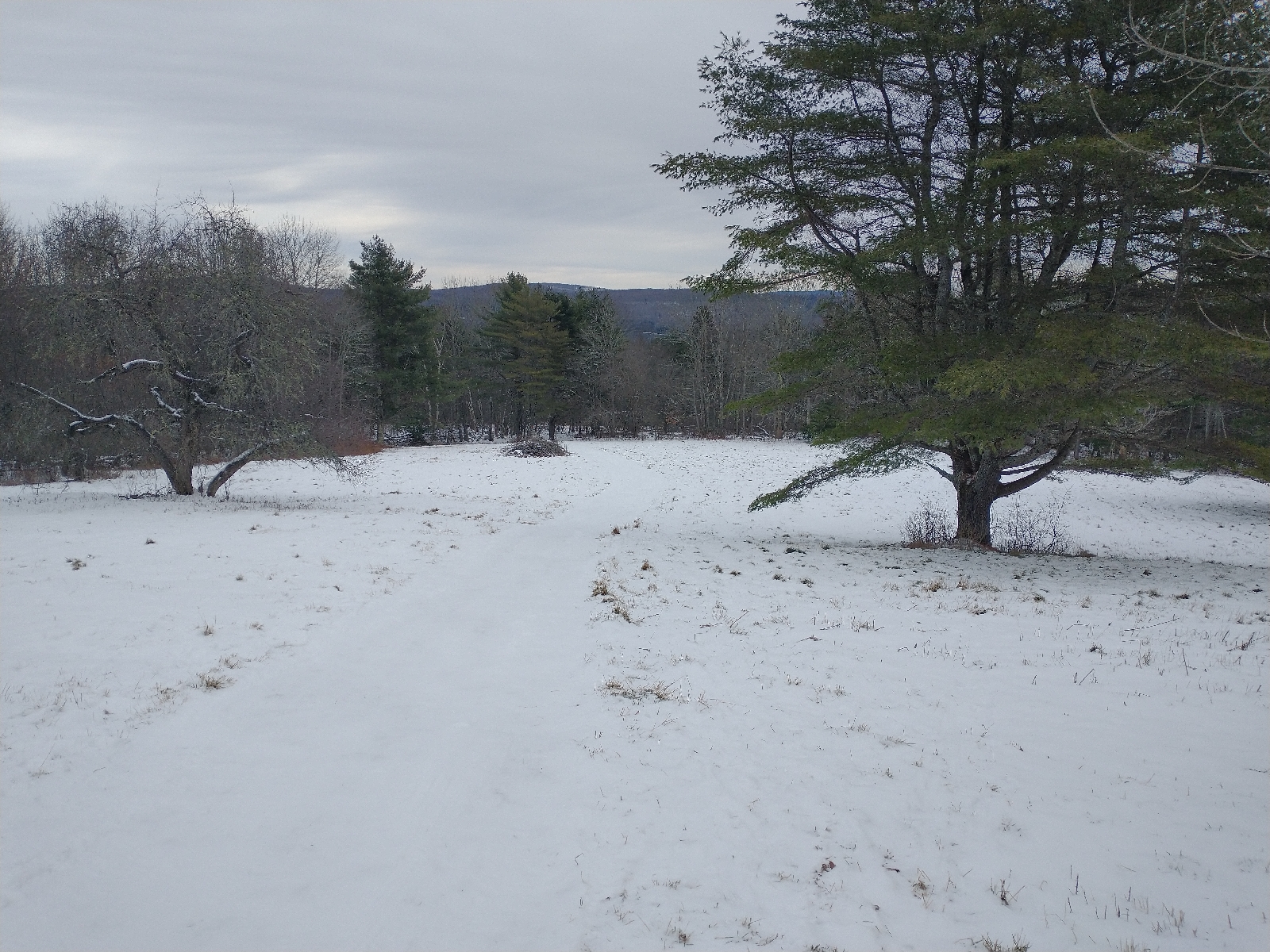
Reynolds Forest (Sidney)
December 28, 2021
Reeds Brook Trails & ITS 82 (Hampden)
December 26, 2021
Richardson Tract (Orrington)
December 24, 2021
Lake George Regional Park (Canaan)
December 23, 2021
Snowshoeing Lily Bay State Park
December 21, 2021
Snowshoeing at Sunrise, Bangor Municipal Golf Course
December 20, 2021
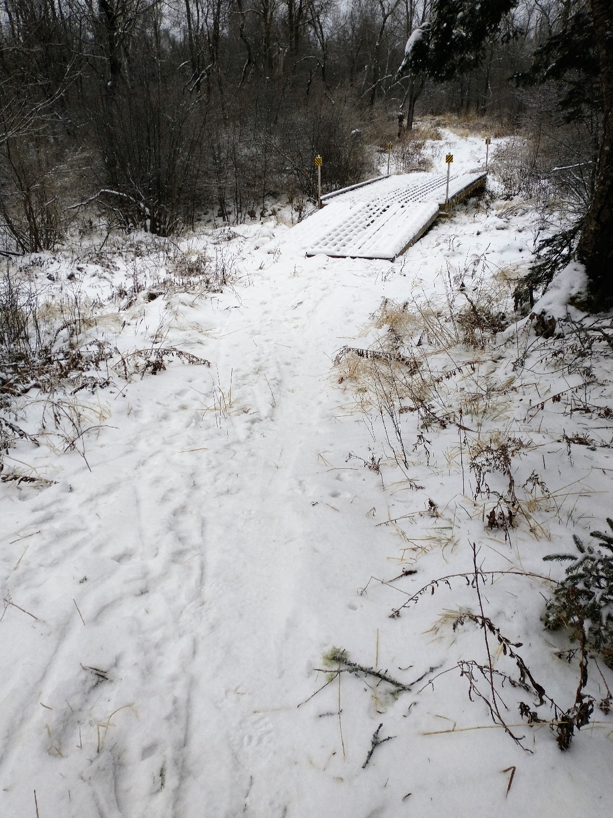
HRS Meadow Farm Wildlife Sanctuary (Stockton Springs)
December 19, 2021
Snowshoeing Hermon/Bangor Snowmobile Trails
December 18, 2021
Acadia Mountain (Acadia National Park)
December 12, 2021
West Side Park and Glenburn Snowmobile Trails (Glenburn)
December 10, 2021
Quick morning hike at Ecotat (Hermon)
December 05, 2021
Trenton Community Trail (Trenton)
December 03, 2021
LL Bean Parcel (Hampden)
November 28, 2021
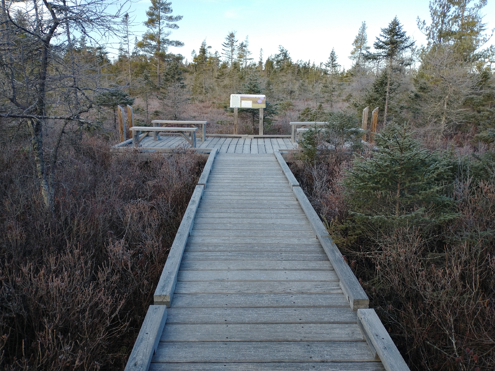
Surry Forest (Surry)
Newer Posts
Older Posts
Home