Skip to main content
Search
Search This Blog
HikingMaine.Org
Covering outdoor activities in Maine and neighboring areas.
Posts
Showing posts from April, 2019
Show all
April 28, 2019
Biking and Hiking on the Down East Sunrise Trail in Ellsworth
April 21, 2019
Indian Trail Park in Brewer
April 14, 2019
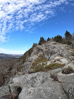
Camden Hills State Park - Mt. Megunticook and Mt Battie
April 14, 2019
Yurt Camping at Hidden Valley Nature Center
April 13, 2019
Great Pond Mountain Wild Lands Group Hike
April 07, 2019
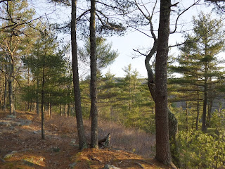
Bangor City Forest
April 06, 2019
Fort Knox and Penobscot Narrows Bridge
Newer Posts
Older Posts
Home