Skip to main content
Search
Search This Blog
HikingMaine.Org
Covering outdoor activities in Maine and neighboring areas.
Posts
Showing posts from August, 2019
Show all
August 31, 2019
Hawaii 2 (Liberty, Maine)
August 30, 2019
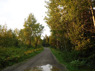
Aroostook Valley Trail
August 29, 2019
Southern Bangor and Aroostook Trail, s/o Presque Isle
August 28, 2019
Bangor & Aroostook Trail s/o Washburn
August 28, 2019
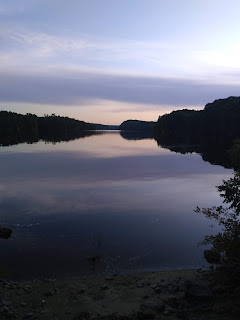
Watching the Sunrise, Haystack Mountain (Castle Hill)
August 26, 2019
Turtle Head Park, Hampden
August 25, 2019
Ecotat Gardens and Arboretum
August 24, 2019
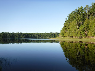
Kayaking on the Penobscot in Orrington
August 18, 2019
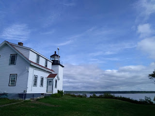
Seal Watching at Fort Point State Park (plus Fort Knox and Penobscot Narrows Observatory)
August 11, 2019
Sears Island Preserve
August 10, 2019
Trail Running in Bangor City Forest
August 04, 2019
Isleboro and Vinalhaven
Newer Posts
Older Posts
Home