Skip to main content
Search
Search This Blog
HikingMaine.Org
Covering outdoor activities in Maine and neighboring areas.
Posts
Showing posts from April, 2020
Show all
April 26, 2020
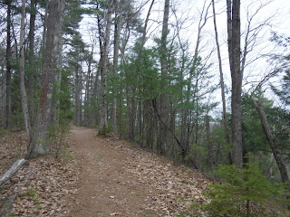
Edythe Dyer Library Trail (Hampden)
April 25, 2020
Hiking the Veazie Railroad Bed
April 25, 2020
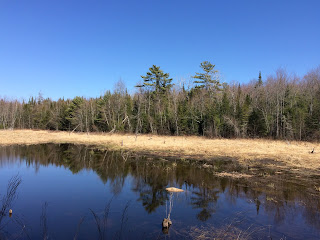
Caribou Bog Conservation Area - Newman Hill and Bangor Hill
April 24, 2020
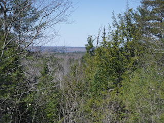
Eagle Bluff (Clifton)
April 23, 2020
My Twitter Account
April 19, 2020
Beech Hill (Rockport)
April 18, 2020
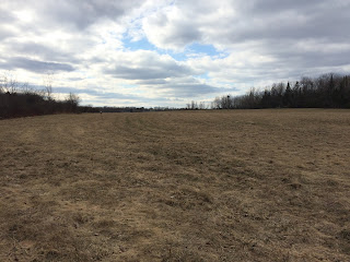
West Penjajawoc Grasslands (Bangor)
April 12, 2020
Jackson Beach and Hermon Pond Park
April 05, 2020
Branch Lake Public Forest (Ellsworth)
April 04, 2020
Lookout Rock (Brooksville)
April 01, 2020
Ecotat (Hermon)
Newer Posts
Older Posts
Home