Caribou Bog Conservation Area - Newman Hill and Bangor Hill
My sons and I hiked Newman Hill and Bangor Hill within the Caribou Bog Conservation Area (CBCA) this morning. CBCA is managed by a number of different organizations, and trail maps for the area are available on the Orono Land Trust's website (oronolandtrust.org).
Maps of the area show a large number of trails in a very small area. Although the trails are well marked for the most part, there are a number of unmarked trails running throughout the area, making navigation challenging.
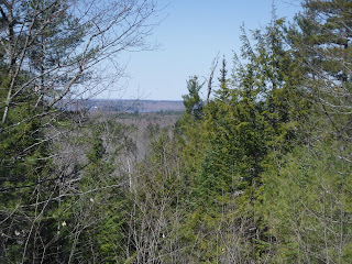
There were limited views of Pushaw Lake from the top of Newman Hill. The land trust's map shows a Katahdin Mountain viewing spot near Bangor Hill; however, we were unable to locate it and the summit offered limited obstructed views.
Despite the navigation challenges and lack of views, we enjoyed ourselves. Here is a map of our hike.


Comments
Post a Comment