Today's weather forecast called for rain and when I set out this morning a light drizzle was already falling. I decided to stay local and hike the Northeast Penjajawoc Preserve in Bangor. Fortunately the rain stopped just as I parked at the trail head.
The preserve itself has around 2 miles of hiking trails, which today were covered in snow. The forested trails are multi-use and can also be used for snowshoeing and fat tire biking. At one point it connects to the Veazie railroad trail, which can be used to connect to Bangor City Forest and Essex Woods. The preserve has useful maps placed at major trail intersections.
Here is a
map of today's hike.
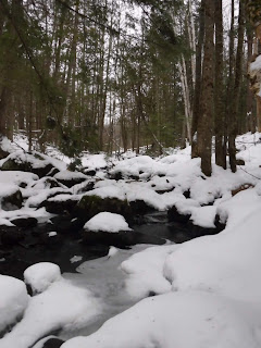 |
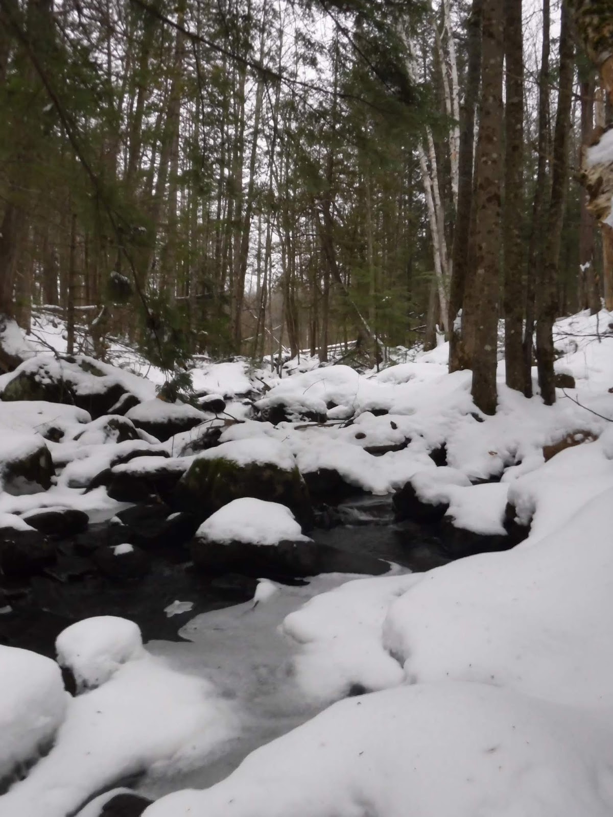
| A stream passes through the preserve. |
 |
| These maps were located throughout the preserve. I wasn't able to locate the marsh overlook however. |


Comments
Post a Comment